Quetzaltenango, Guatemala
Scores
Quick Facts
- Internet Speed:20 Mbps
- Affordability:cheap
- English:challenging
- Public Transit:reasonable
- Walkability:reasonable
Why It Fits
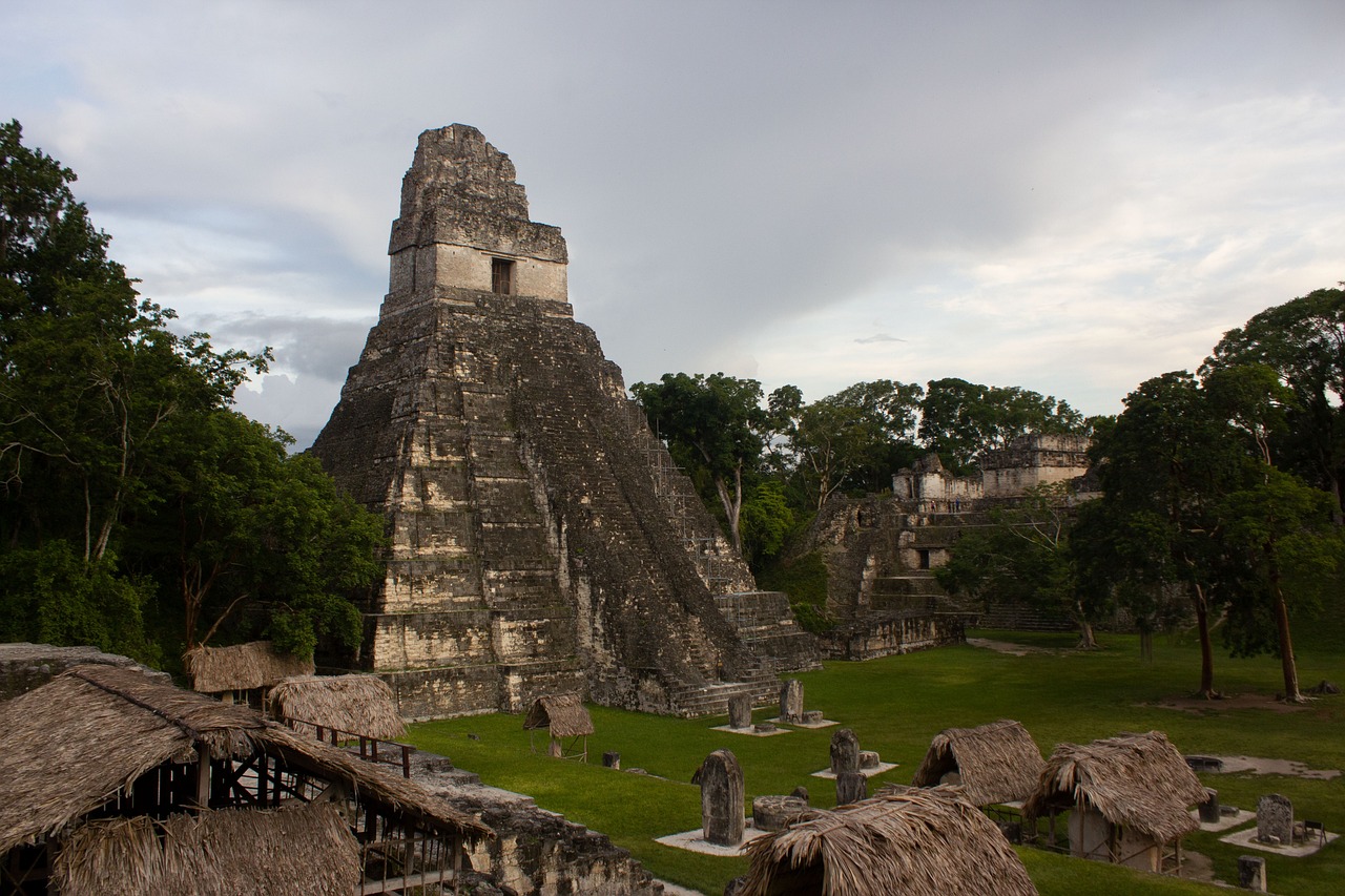
Quetzaltenango sits at 2,350 meters elevation in western Guatemala, creating a perpetually spring-like climate that feels refreshing compared to lowland Central America. The city pulses with indigenous Mayan culture—K'iche' and Mam languages dominate street-level interaction—and serves as a regional educational and cultural center rather than a pure tourist destination. The downtown core around Parque Central is walkable and compact, with colonial architecture, markets, museums, and an active local arts scene. It attracts language students, cultural researchers, and digital nomads seeking a less-touristy alternative to Antigua, though infrastructure is notably more basic. Best months to visit are December through March (dry season, clear mountain views, cooler evenings), and July through August (mid-rainy season but fewer tourists, lush scenery). Avoid May-June (unpredictable rain, muddy roads) and September-November (heavy rains, occasional landslides on surrounding roads). The rainy season is dramatic but manageable in the city itself. Quetzaltenango suits language learners, cultural immersion-focused travelers, hikers, and budget-conscious digital nomads willing to trade some convenience for authenticity. Nightlife is subdued compared to Antigua or tourist beach towns; the appeal is day activities (markets, indigenous villages, volcano hikes, Spanish classes) and evening socializing in gringo-friendly cafes and restaurants. English proficiency among service workers is lower than in major tourist hubs, making it less convenient for those unwilling to engage in Spanish. Internet reliability can be patchy; several coworking spaces and cafes exist but expect occasional outages. Cost of living is genuinely cheap—accommodation, food, and transport remain well below Central American tourist averages. Safety is reasonable in the central tourist areas and main neighborhoods, but petty theft and opportunistic crime occur; avoid displaying valuables, don't walk alone at night, and stick to well-traveled routes.
Popular Activities
See flights to Quetzaltenango
Enter your nearest airport (IATA code) to show flight options.
Historical Weather
Average temperatures and rainfall