Turrialba, Costa Rica
Scores
Quick Facts
- Internet Speed:25 Mbps
- Affordability:cheap
- English:reasonable
- Public Transit:reasonable
- Walkability:reasonable
Why It Fits
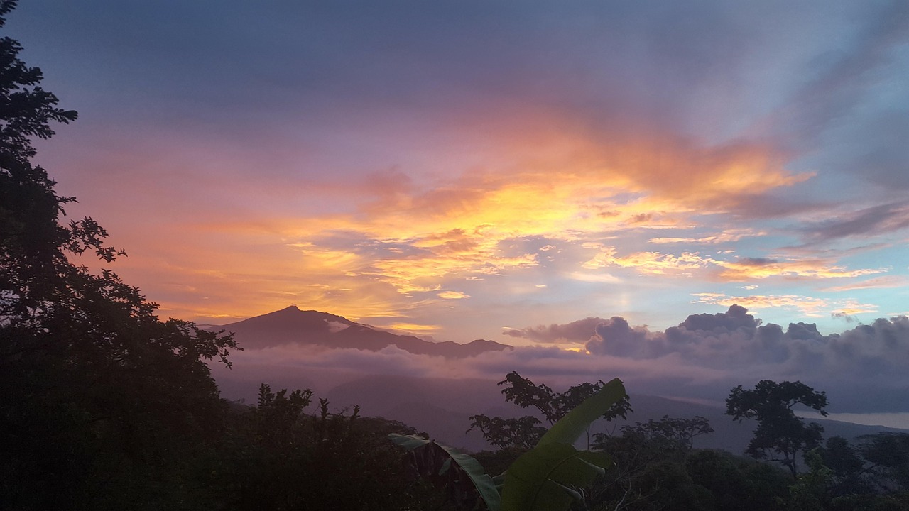
Turrialba sits in the foothills east of San José and serves primarily as an adventure hub for outdoors-focused travelers—the Turrialba Volcano, Cartago Valley, and nearby Reventazón River attract hikers and rafters. The town itself is modest and utilitarian, with limited nightlife, dining variety, or cultural attractions compared to San José or Caribbean coastal towns. It appeals mainly to nature-focused backpackers and adventure travelers rather than digital nomads seeking vibrant social scenes or workspace culture. The best months to visit are December through April (dry season), when trails are accessible and weather is stable; avoid September through November (peak rainy season), when roads become muddy and volcano visibility drops significantly. May through August offers a shoulder season with afternoon rains but manageable conditions. January–February peak tourist season brings higher prices and more crowded trails. Turrialba suits travelers seeking affordable mountain adventure, rural immersion, and proximity to volcanic and outdoor activities. However, the town has weak digital nomad infrastructure—limited reliable coworking, slower internet than San José, and few accommodation options designed for remote workers. English proficiency is low outside tourist-facing businesses. The public transport system is basic (local buses connect to San José), and walkability within town is reasonable for a compact mountain settlement, though many attractions require organized tours or personal transport. Overall, Turrialba works best as a 1–2 week stopover for volcano hikes and river activities rather than a long-term base. Solo travelers should exercise standard rural Costa Rica precautions around nighttime movement and valuables.
Popular Activities
See flights to Turrialba
Enter your nearest airport (IATA code) to show flight options.
Historical Weather
Average temperatures and rainfall